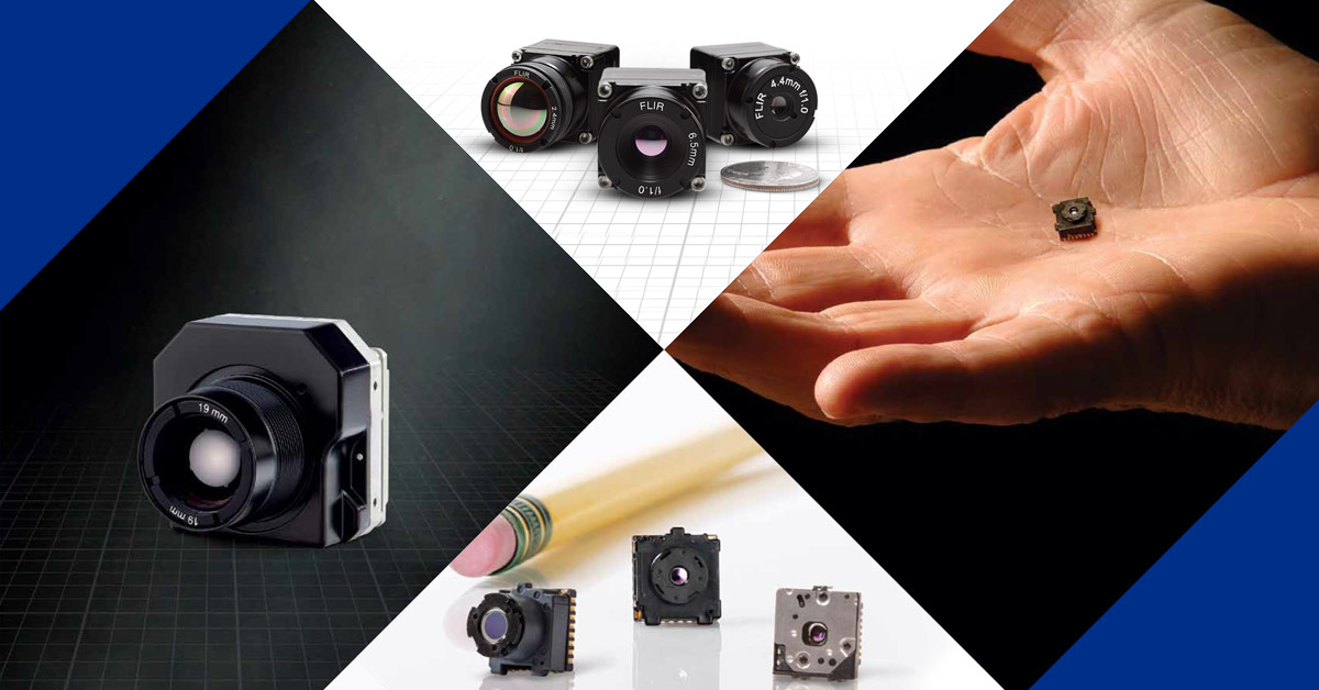
Mapping Extensive Areas with Thermal Drones
This webinar walks you through key considerations when conducting mapping missions with thermal drones. Topics include:
-
What is thermal and why use it?
-
Resolution and altitude
-
When to use Qualitative v. Quantitative
-
Emissivity and temperature accuracy
-
Pixels on target
-
Benefits of EO/IR
-
General best practices
Learn how to recognize factors that may inhibit your mission or present challenges that can be overcome with the right approach. For more about FLIR UAS programs: oem.flir.com/suas
Zugehörige Artikel
-
 Download
5 Faktoren, die sich auf radiometrische Temperaturmessungen auswirken
Bericht lesen -
 Herunterladen
8 Dinge, die Ingenieure über Wärmebildtechnik wissen sollten
Weitere Informationen -
 Artikel
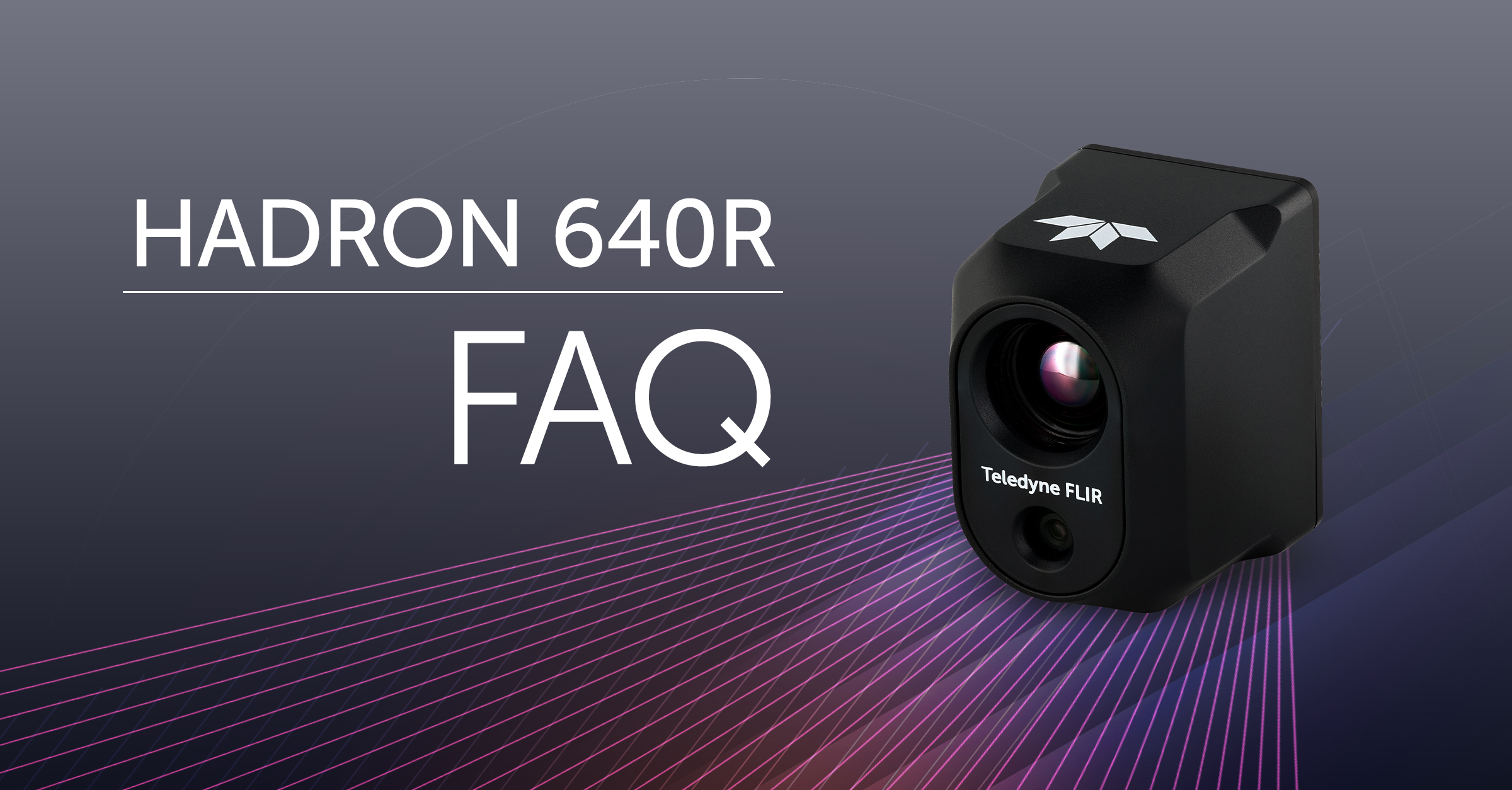
FAQ - Everything You Need to Know About the Hadron 640R
Weitere Informationen